Cartography of Terra Incognita
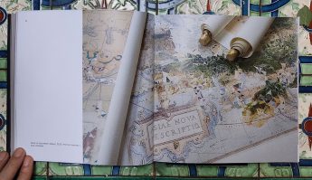
In cartography, terra incognita refers to regions that have not been mapped or documented. The expression is believed to have first appeared in Ptolemy’s Geography around 150 CE1. It denotes unexplored or unfamiliar territories. Interestingly, the phrase has also been used metaphorically to describe any uncharted subject or field of research
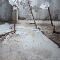
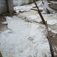
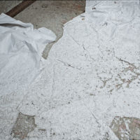
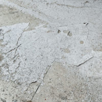
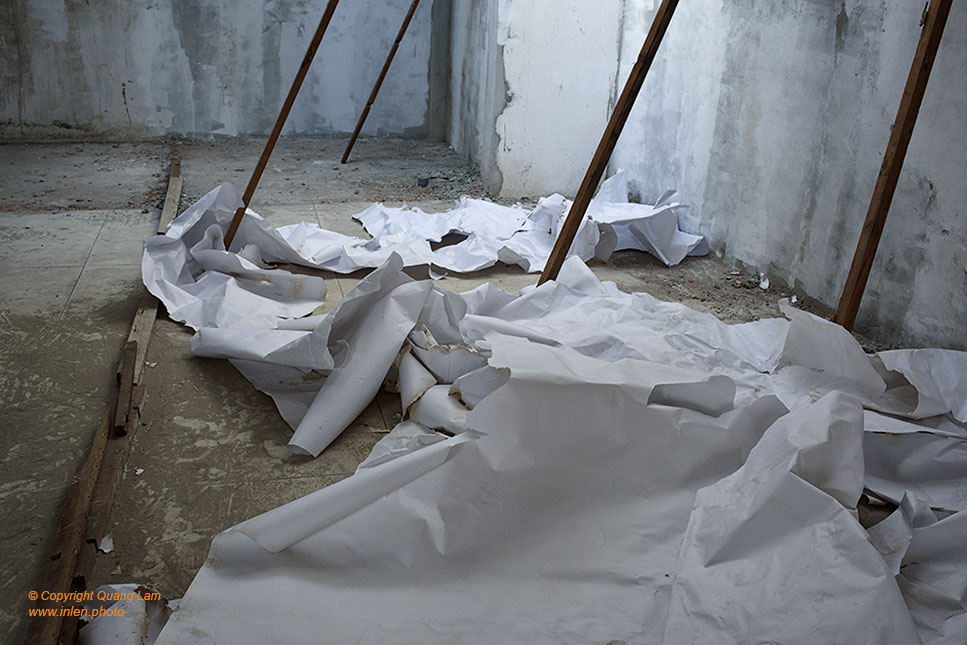
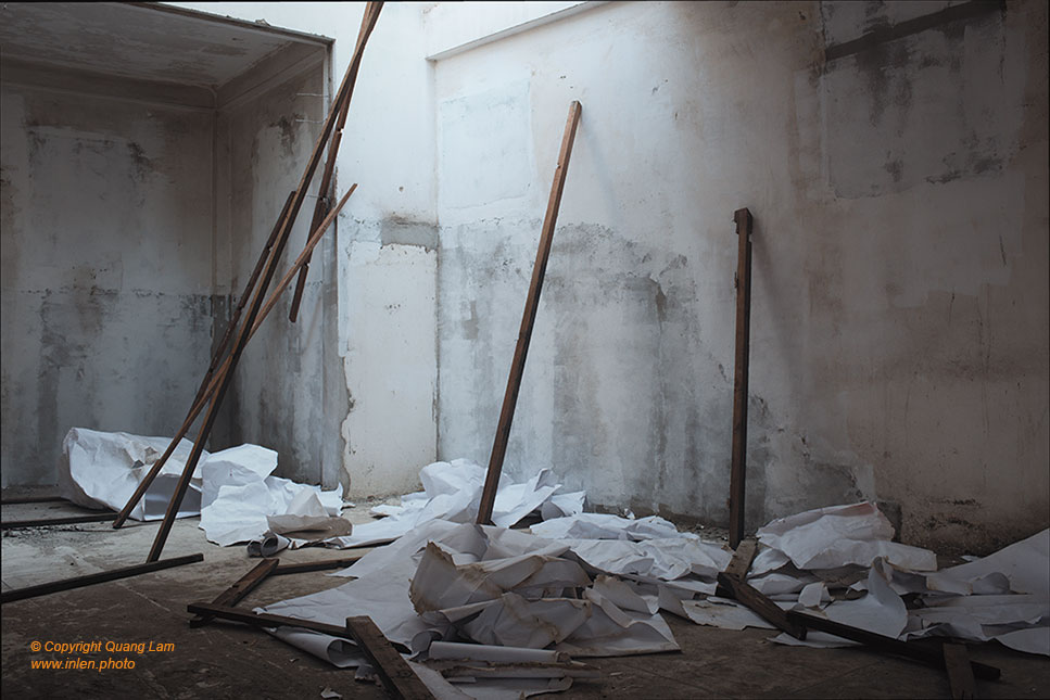
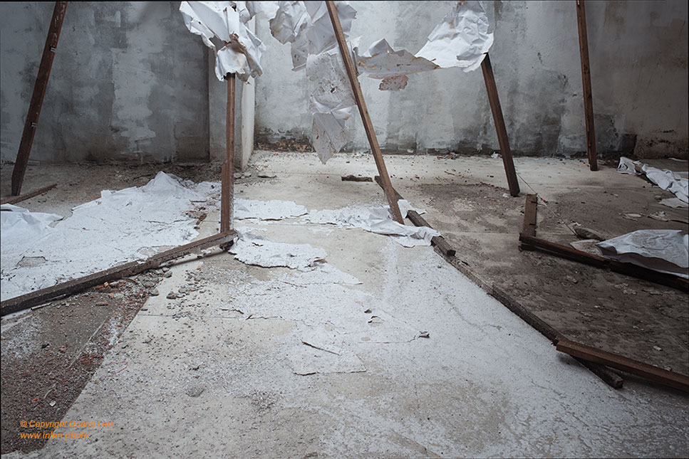
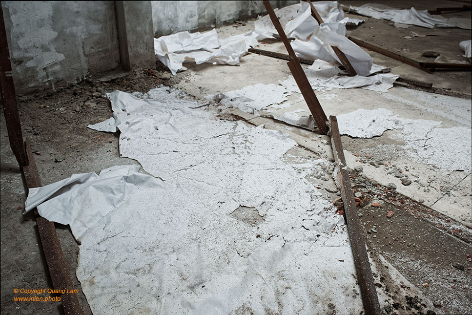
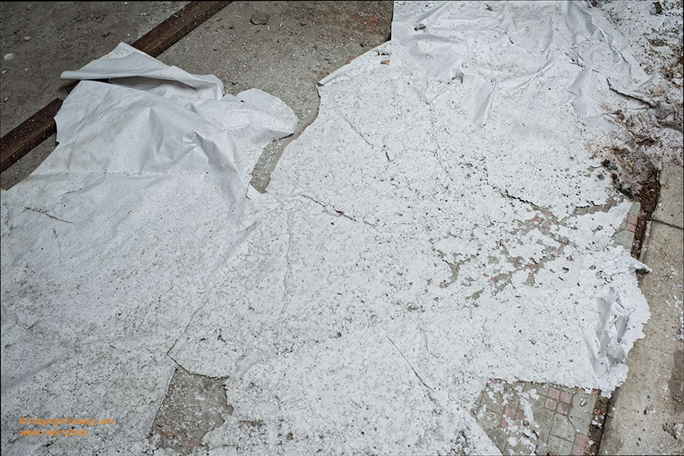
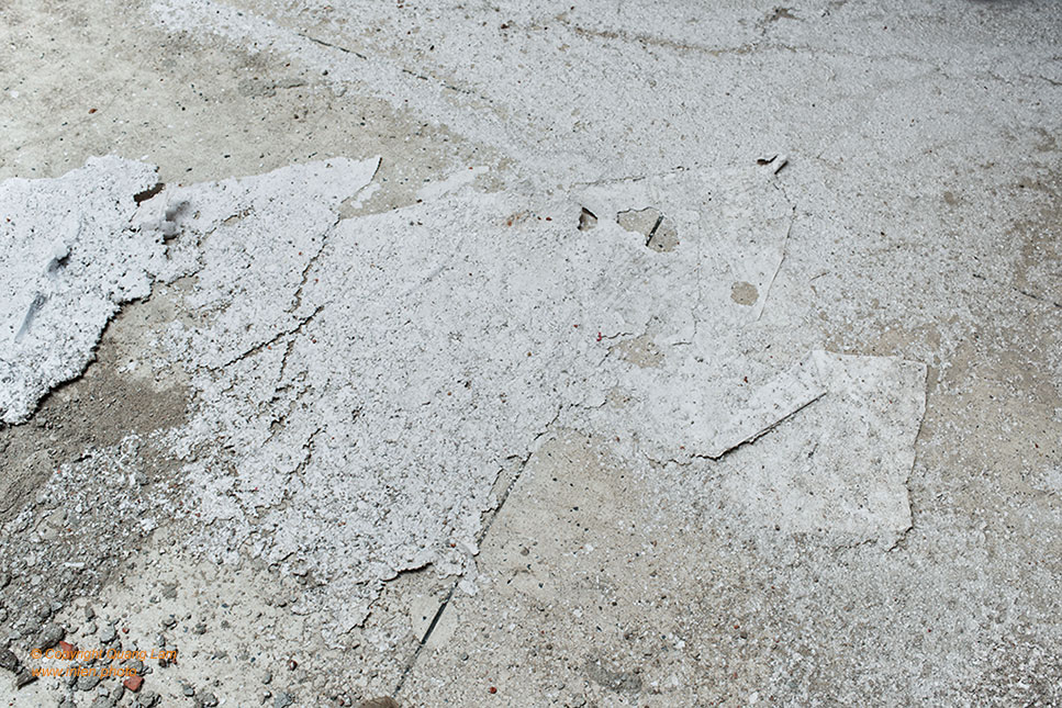
This series captures the in-situ construction of a Terra Incognita that unfolded over several months. In an exposed ruin, buffeted by rain and wind, the photographer placed an immense sheet of paper—a symbol of untouched land—transformed and torn by air currents, dissolved by rainwater. Over time, the natural elements shaped this material into layers akin to sediment deposits.
A minimalist installation was then constructed, delineating and dividing this new space. The lines of latitude and longitude drawn upon this “map” transport us to a virgin land sculpted solely by Nature—a return to a blank page away from a complex contemporary world.


